
【Hiking Log】Qixing Mountain Main Peak + East Peak
🌐 中文版:繁體中文
Intro
Having grown up in Taipei for years without visiting Qixing Mountain’s main-peak triangulation marker, I took advantage of a rare day of good weather to go check it out.
The main route for this Qixing Mountain hike was from the Xiaoyoukeng trailhead -> Qixing Mountain main peak -> Qixing Mountain east peak, then back the same way to the Xiaoyoukeng parking lot.
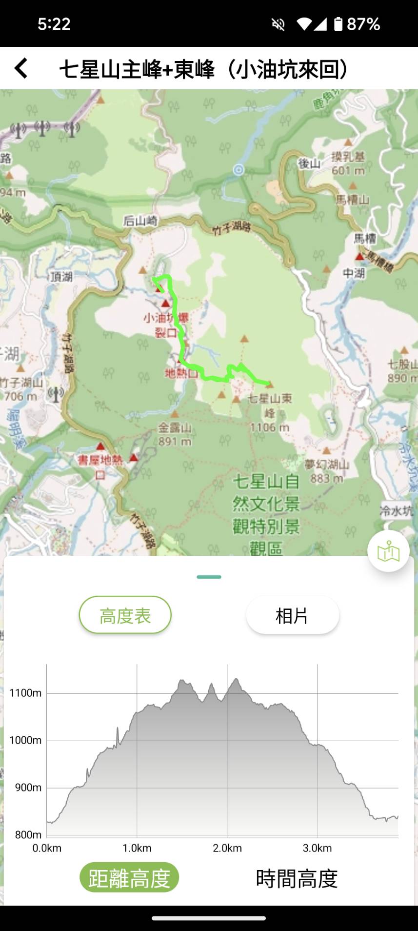
Qixing Mountain is the highest mountain within Taipei City, reaching an elevation of 1120 meters.
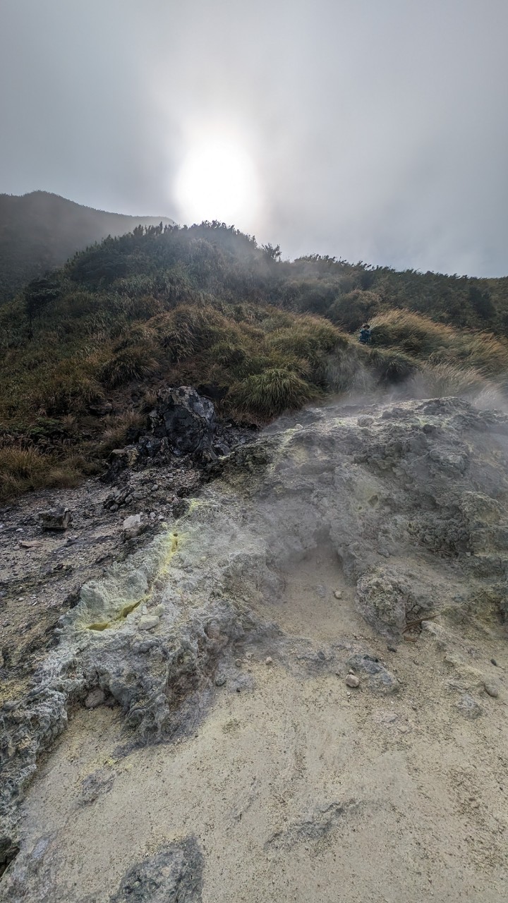
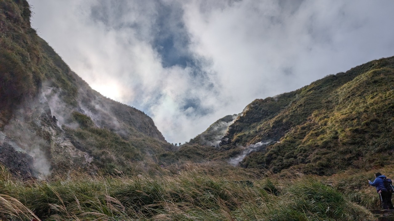
Xiaoyoukeng geothermal vent
The sulfur smell near the geothermal vent is strong, but on a cold day it’s actually pretty warm close up.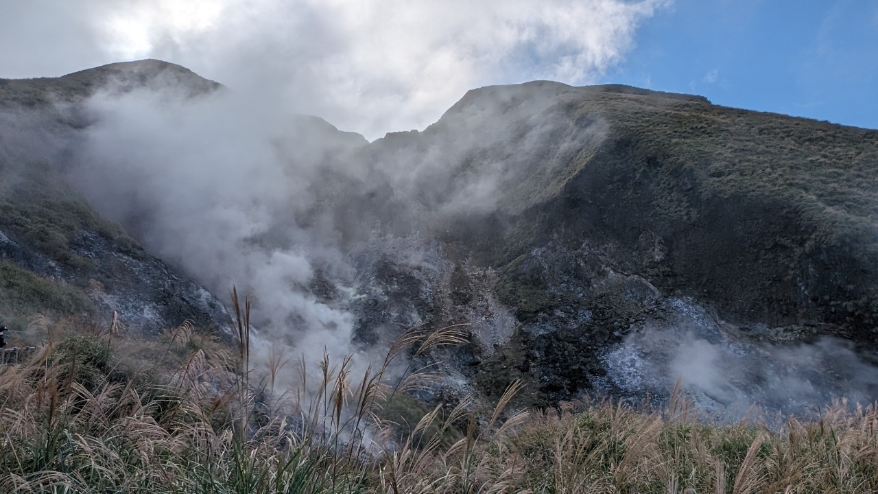
The gushing sulfur springs boil and bubble.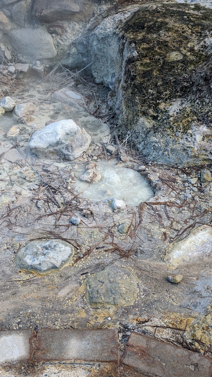
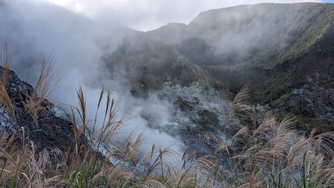

Qixing Mountain main peak
The path to the main peak is almost all stone steps, but there are quite a few steep climbs along the way, so I recommend bringing trekking poles.
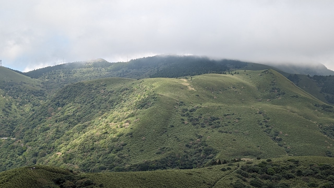
It’s silvergrass season in November, but it’s windy here and the silvergrass is all bent over by the wind, though the scenery is still pretty.


On weekends there are many hikers who come to take photos with this marker post, so decide for yourself whether to grab a memento.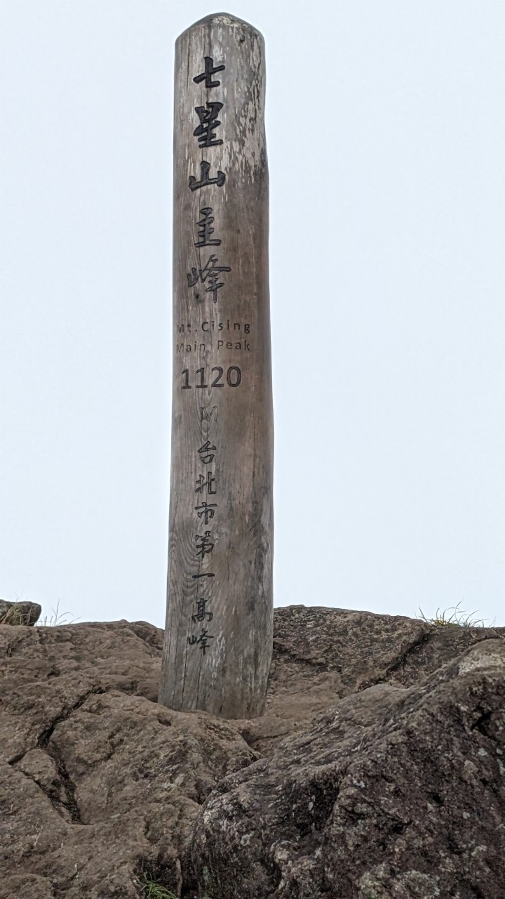
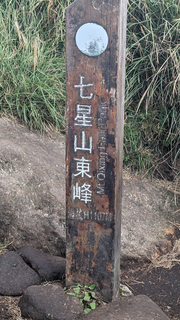
Qixing Mountain east peak
From the main peak to the east peak is only another 0.3K, so you can collect both summits in one go. But some sections from the main peak to the east peak are slippery, so I recommend wearing anti-slip hiking shoes.
The bushes
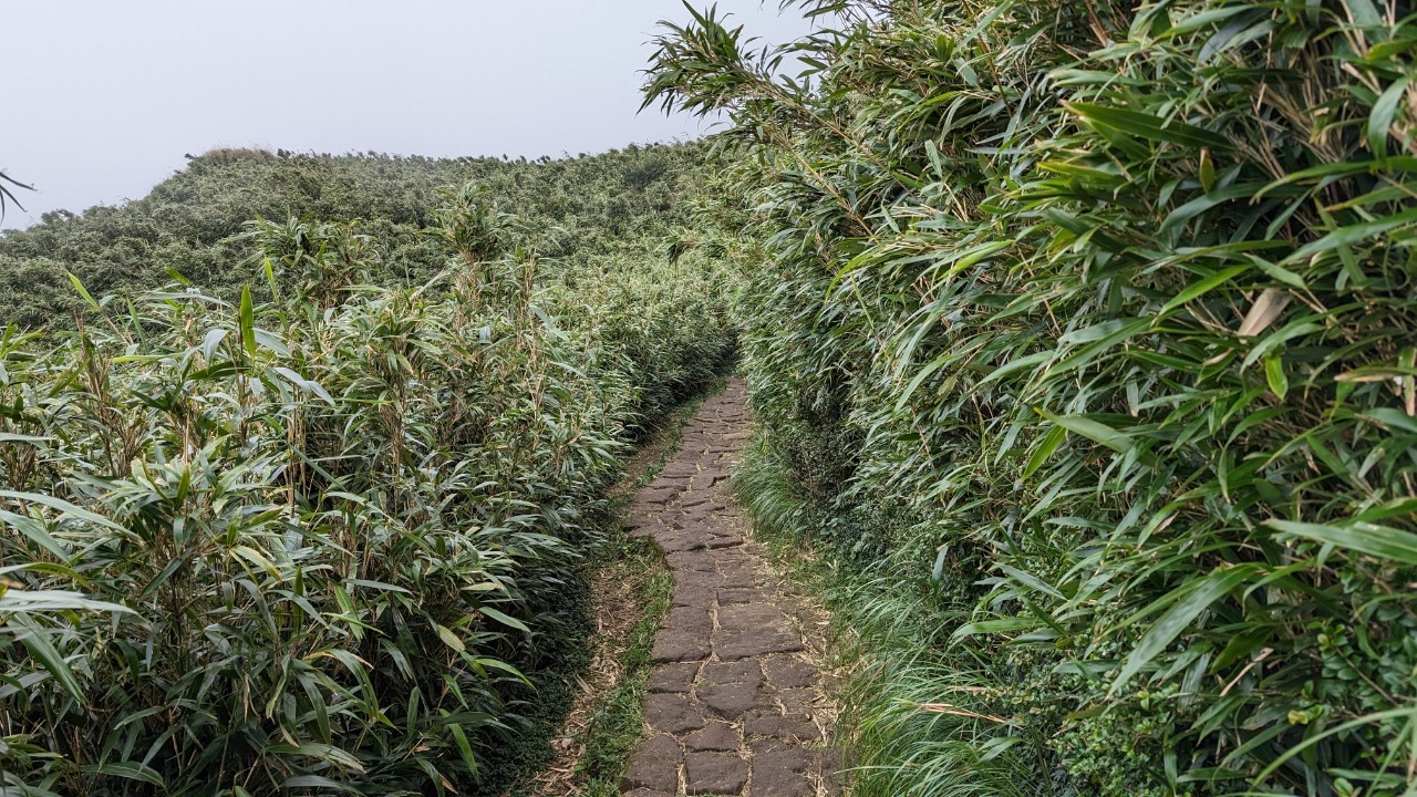
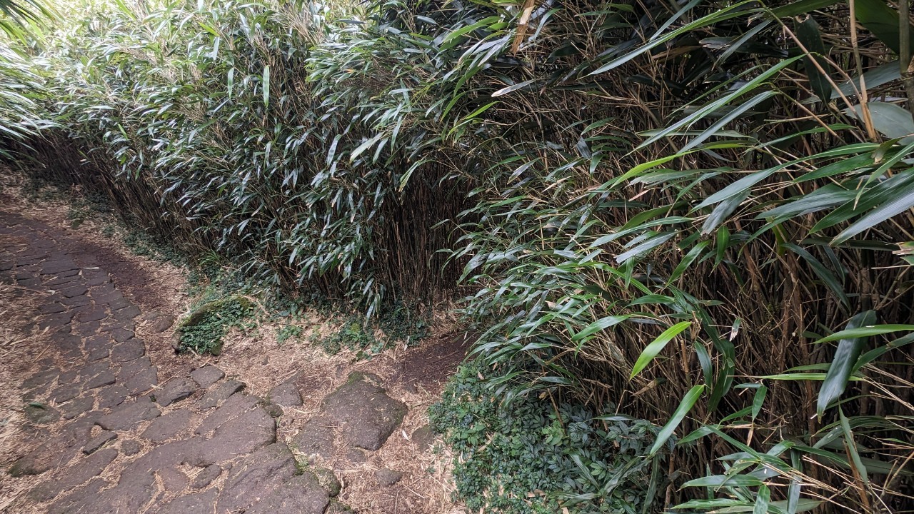
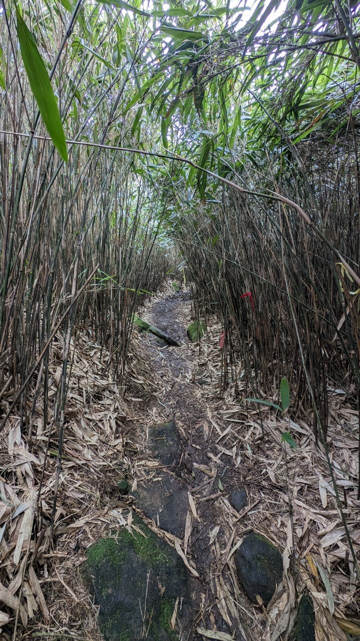
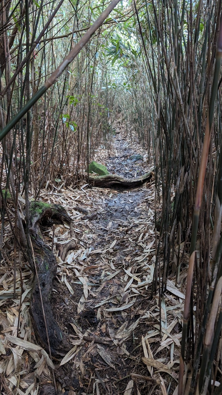
By the way, all along the trail there are many passable bush tunnels like the one below. If you check an offline map you can see there’s a path, and you can also find tied ropes. An old friend went in for a bit of exploring, but there was too much mud further on, so we didn’t go deeper.
Personally I thought the east peak’s scenery was so-so, but plenty of people still line up for photos.
Then I went back the same way to the parking lot, ending today’s trip.
Actually, most people go up from Xiaoyoukeng to the main peak then the east peak, then down via Lengshuikeng, or the reverse route. But since I drove, I could only go back and forth the same way.
If you find my articles helpful, please support Kevin!
 Use boba to safe Kevin!